
Would you like to master Geodesy & Geoinformation?
We’re here to help!
We measure the world! Geodesy deals with the observation of the Earth and the world around us, while geoinformation deals with the visualization of data and results.
Our graduates are in demand worldwide—whether in science, business, or the public sector. With their knowledge, they are shaping the future of Earth observation, navigation, and cartography.
At a Glance
Certificate received upon completion:
Diplom-Ingenieur:in / Master of Science
Duration of course: 4 semesters
Credits: 120 ECTS
Language: English
Course start: winter semester (October 1) or summer semester (March 1)
Application period winter semester 2026:
January 16, 2026 to July 15, 2026
Our Assets

Current research topics

Excellent supervision ratio

Good job prospects

Excursions
What our students say:
A thing I also really appreciate about the Master’s in Geodesy and Geoinformation is the community. Since the number of students is pretty small, you get to know people quickly, and everyone helps each other out. The student association (Fachschaft) is really active too, so you never feel lost when you need support or information. It makes the whole program feel more personal and less overwhelming.
The Master’s program in Geodesy and Geoinformation has been very interesting so far. I like that we work with real data and get to apply things instead of only listening to theory. Some courses are challenging, but the instructors are helpful, and the atmosphere in the classes is relaxed. It’s a good mix of tech and practical projects, which keeps it engaging.
Your career starts with us!
Studying Geodesy and Geoinformation in the Master’s program at TU Wien opens the door to a wide range of advanced and future-oriented career paths.
Graduates are highly valued when it comes to performing high-precision measurements, developing complex geospatial models, analyzing large geodata sets, or creating innovative solutions for global challenges such as climate change, urban growth, natural hazards, and sustainable mobility. Whether in scientific research, engineering, space technologies, environmental management, or data-driven industries, the opportunities are diverse and offer excellent career prospects in both the public and private sectors.
Interested?
Enroll now for the Master’s program in Geodesy and Geoinformation at TU Wien!
... and what do you do with it?
Completing a master’s degree opens up a wide range of exciting and future-oriented career opportunities – in technical, scientific, and economic fields. You may even be able to gain some work experience in these industries on a part-time or temporary basis while you are still studying.
You can find a range of possible geo-jobs here:
In industry ...
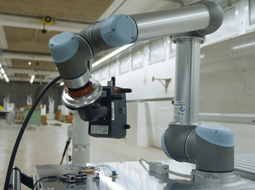
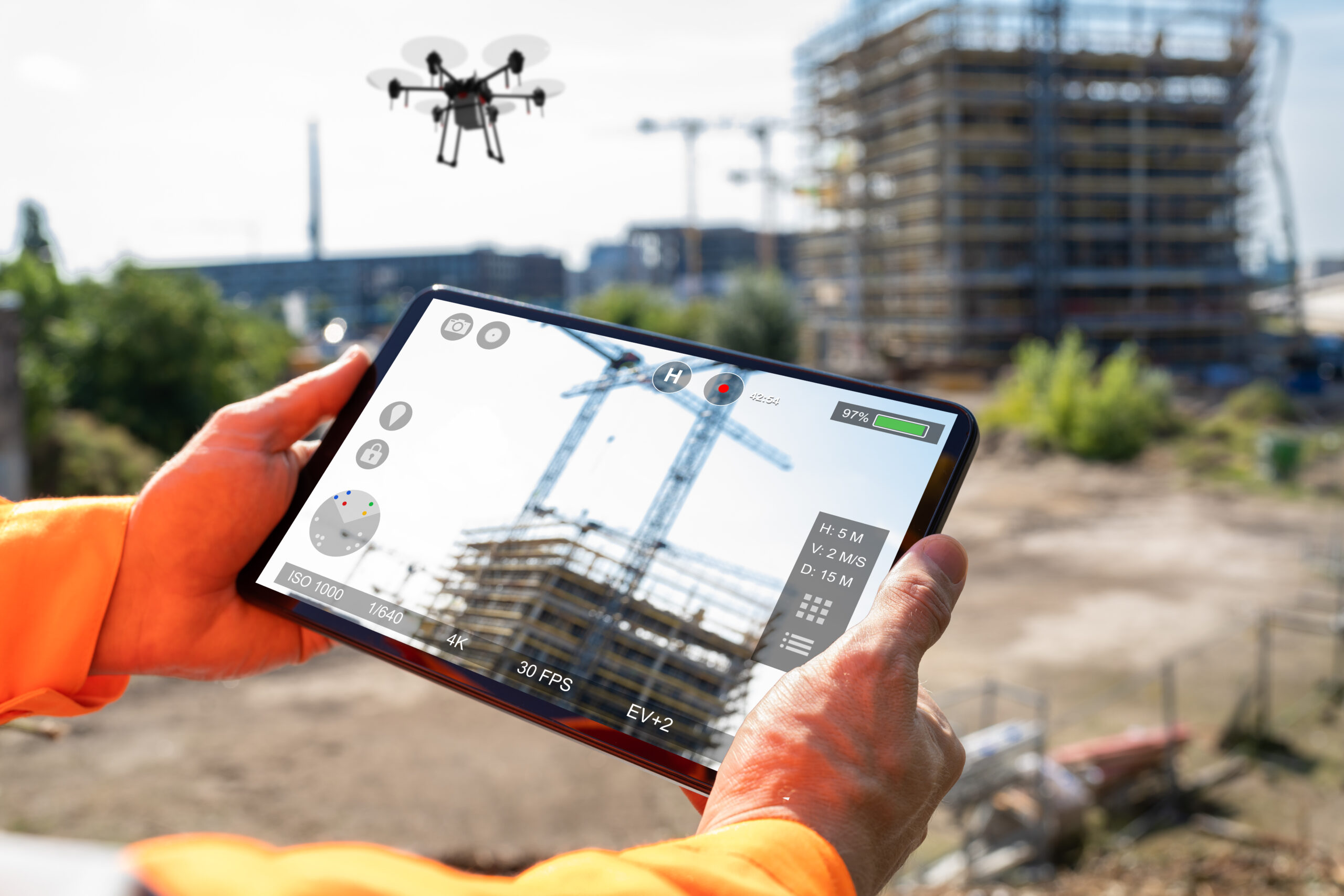
... for example in surveying technology or in the field of smart manufacturing, where precise geodata is indispensable for automation and digital production.
In research and development ...
... particularly in geoscience projects or in the development of innovative applications in the field of remote sensing and geodata analysis.

In the IT and service sector ...
... with a focus on geographic information systems (GIS), digital maps, data infrastructure, or software development for spatial applications.
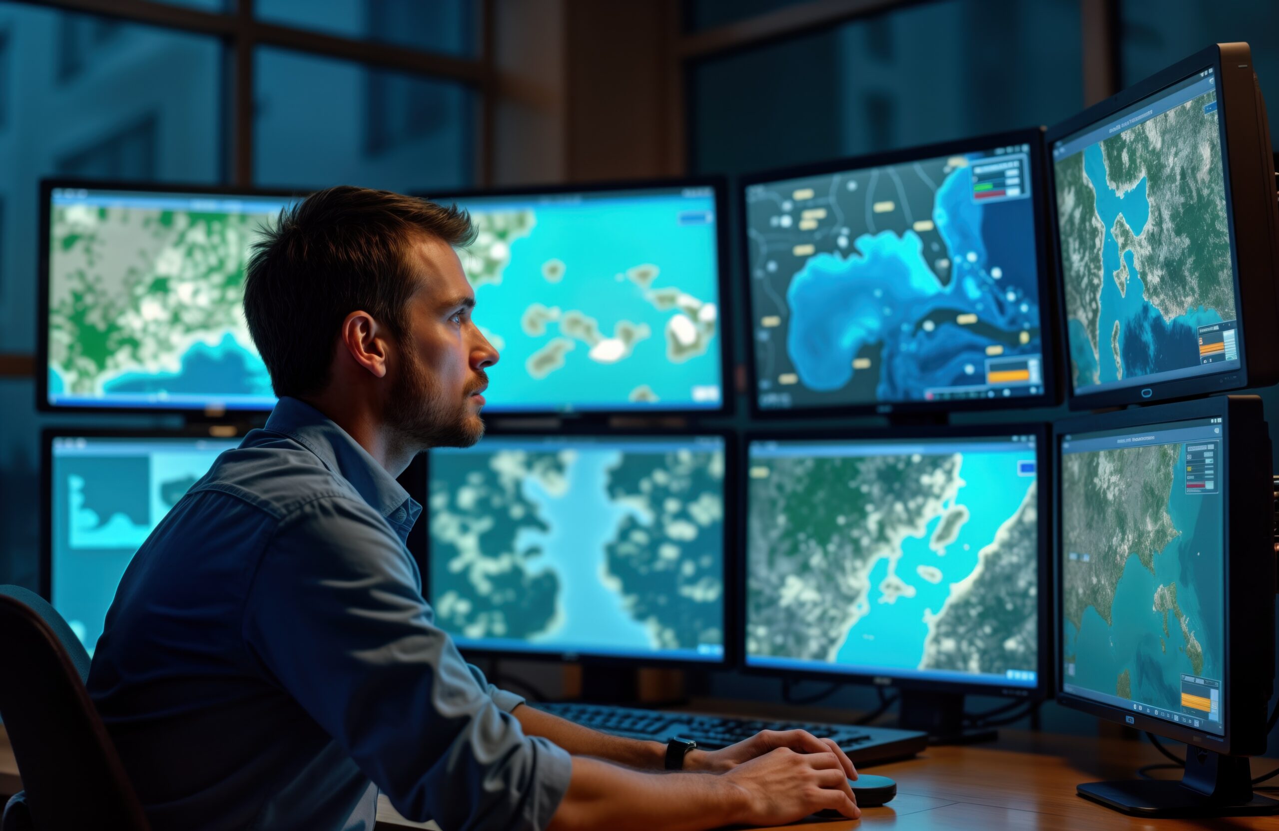
With satellite data ...
... e.g. in the analysis, visualization, and interpretation of spatial information—a key competence in climate and environmental research as well as in disaster prevention.

As executives or in management ...
... for example, in technical offices, consulting firms, or public administration, where geodetic expertise is incorporated into decision-making processes.
As independent entrepreneurs...
... e.g. as state-authorized consulting engineers for surveying or by founding their own companies, for example in the field of location-based services, digital map applications, or the use of open data for new business models.
Get to know us

Meeting room
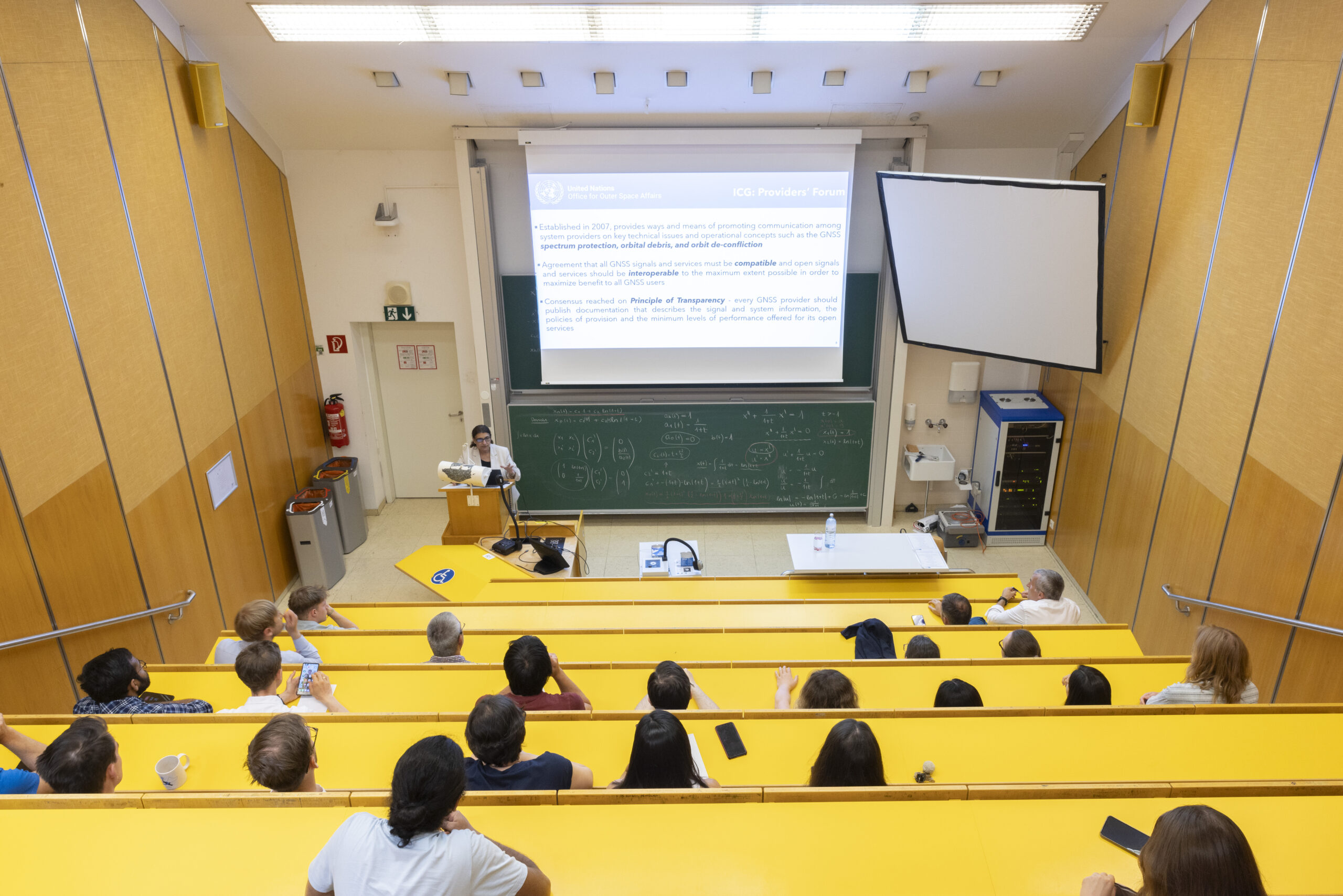
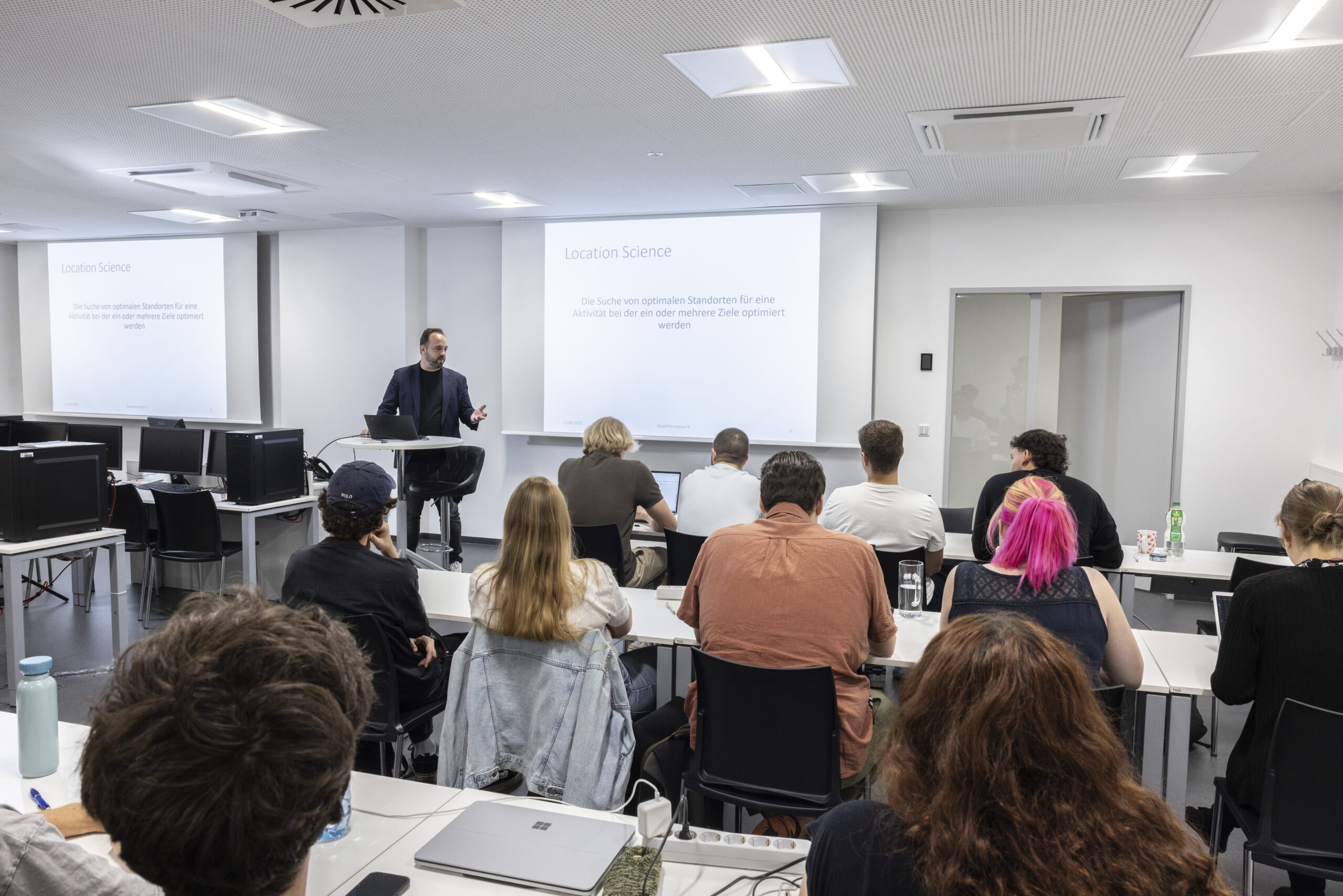
Auditorium
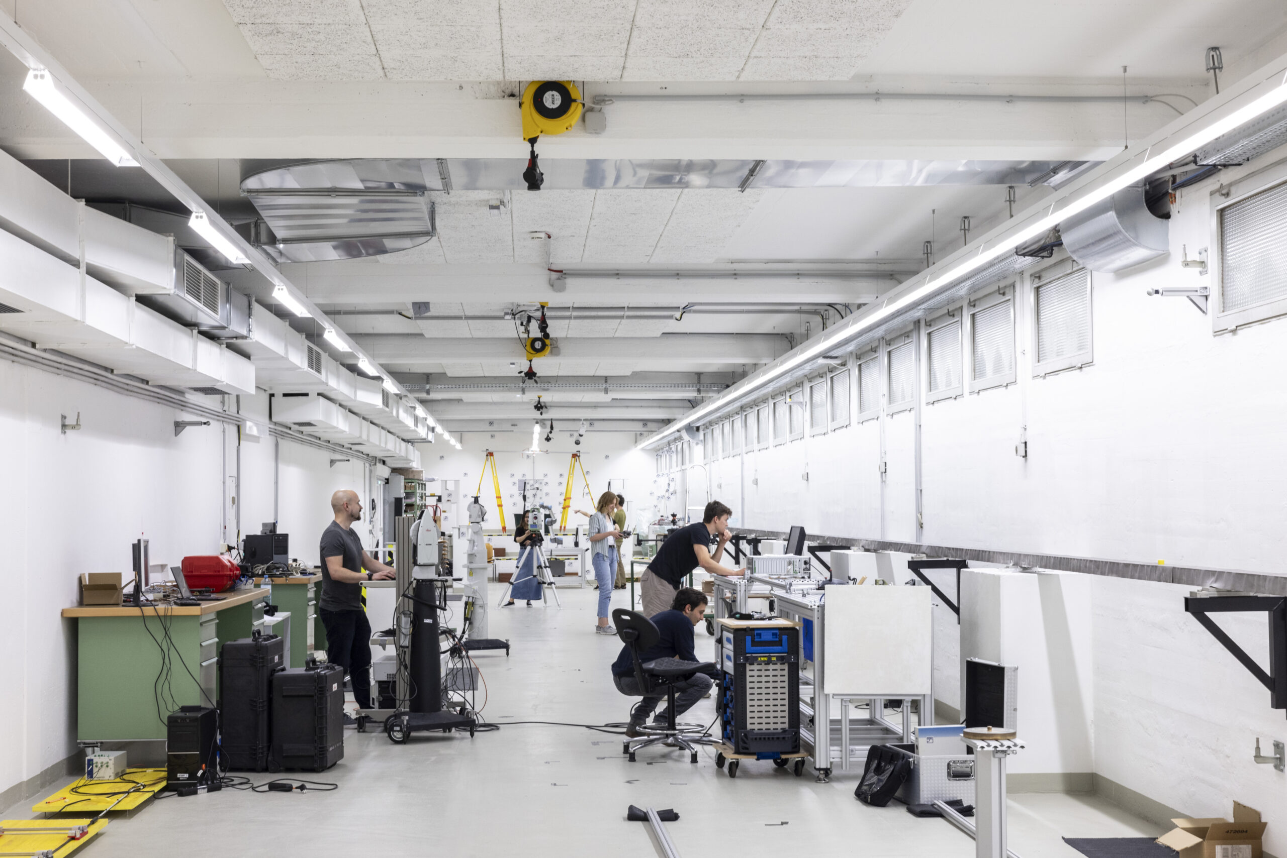
Metrology lab
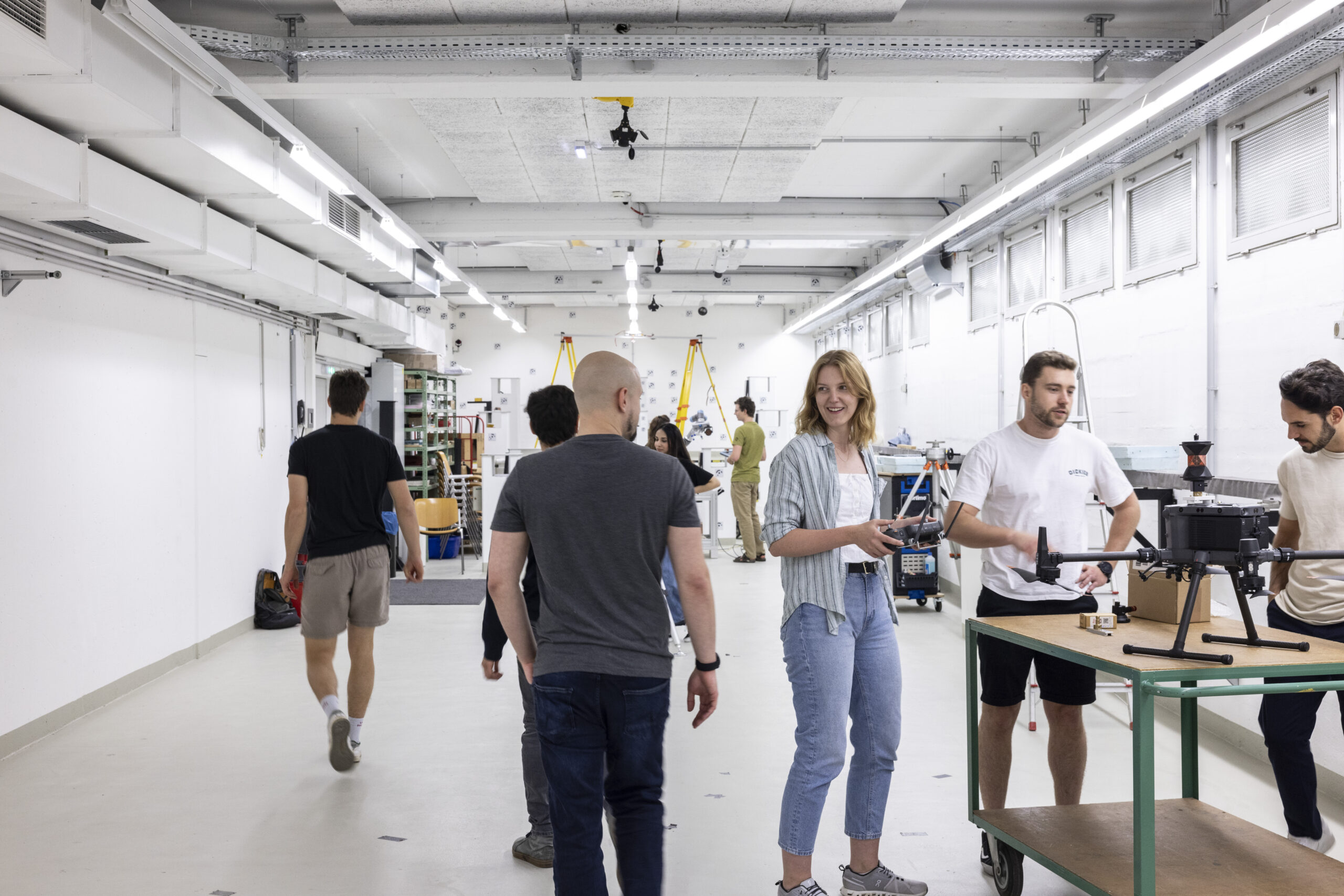
Metrology lab
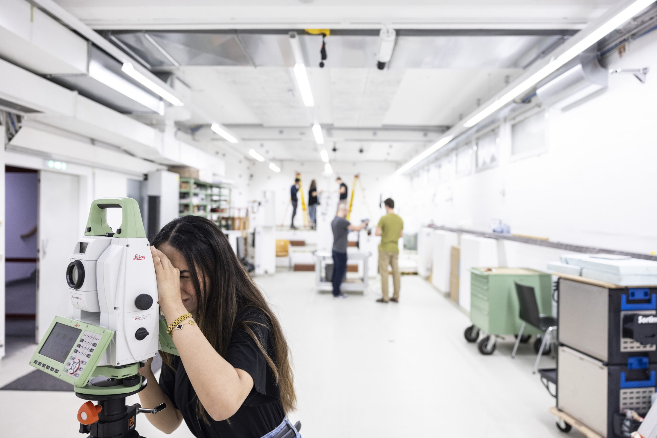
Metrology lab
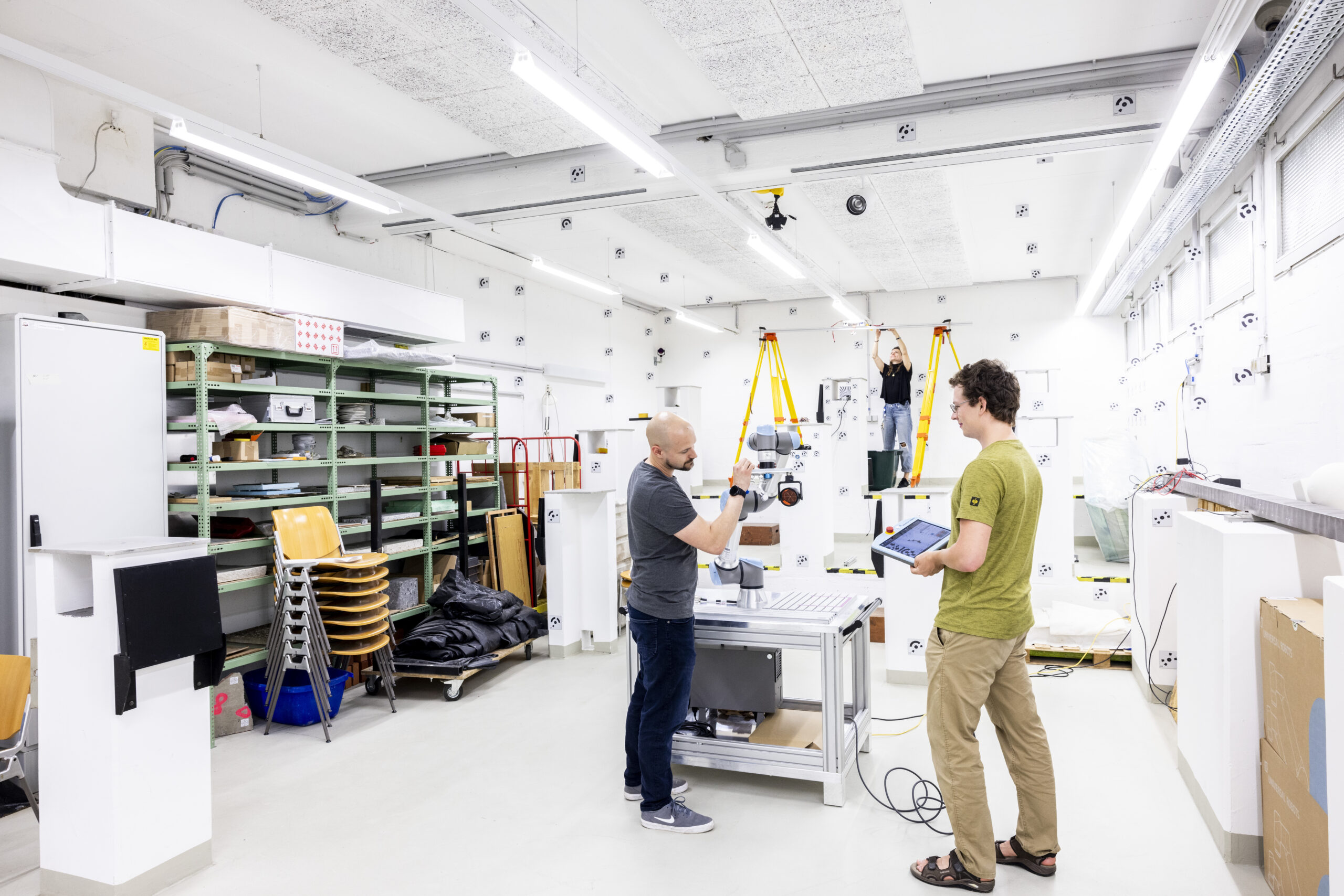
Metrology lab
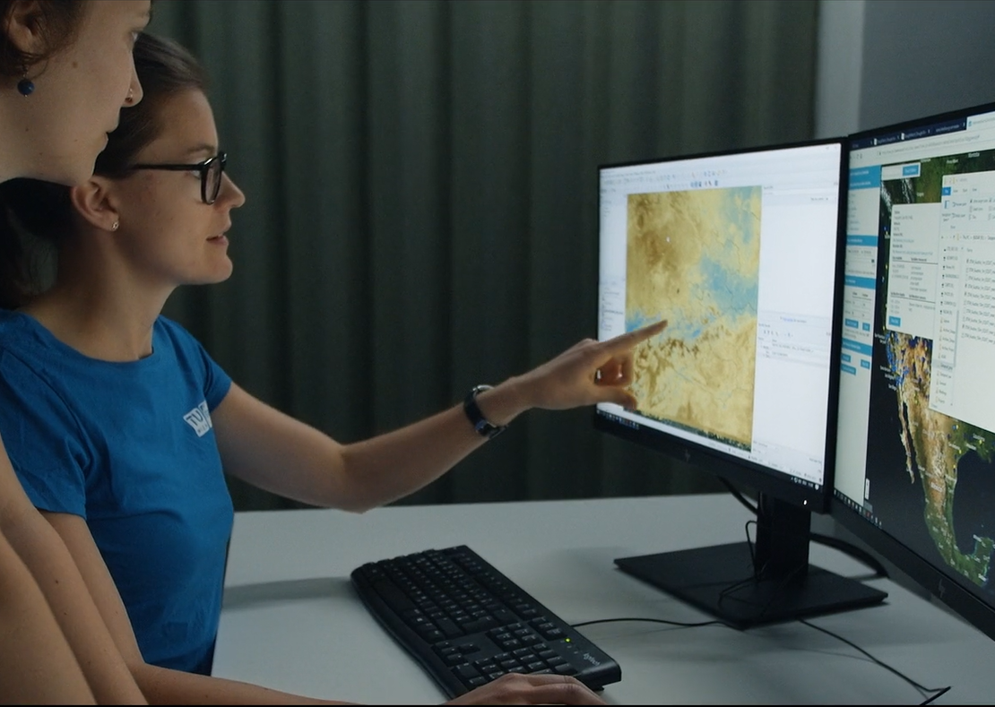
GIS-Lab
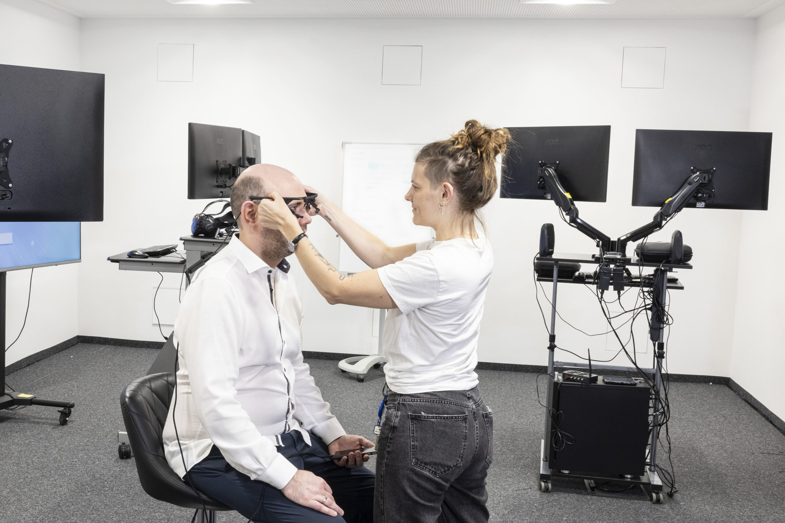
Spatial-HCI-Lab
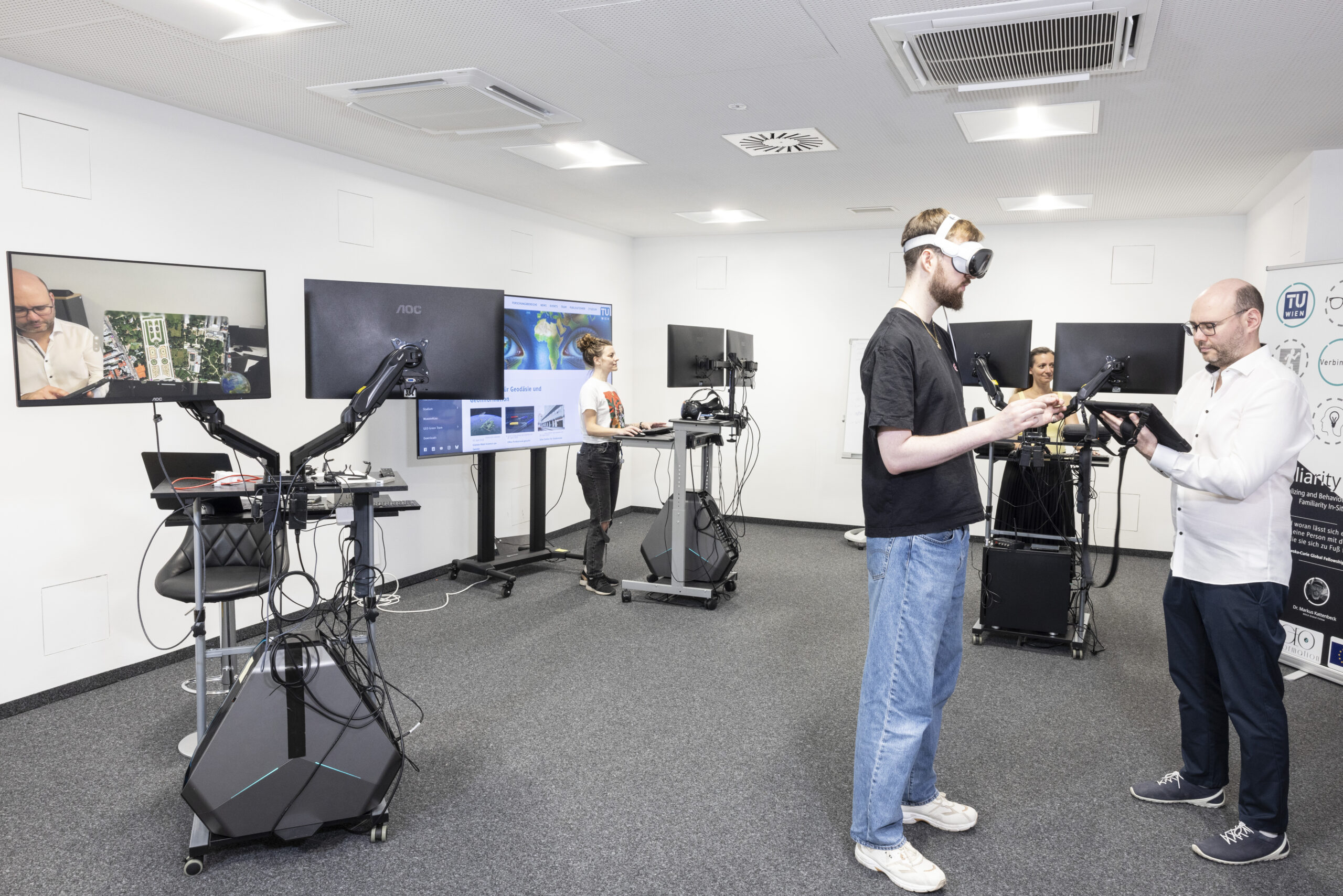
Spatial-HCI-Lab
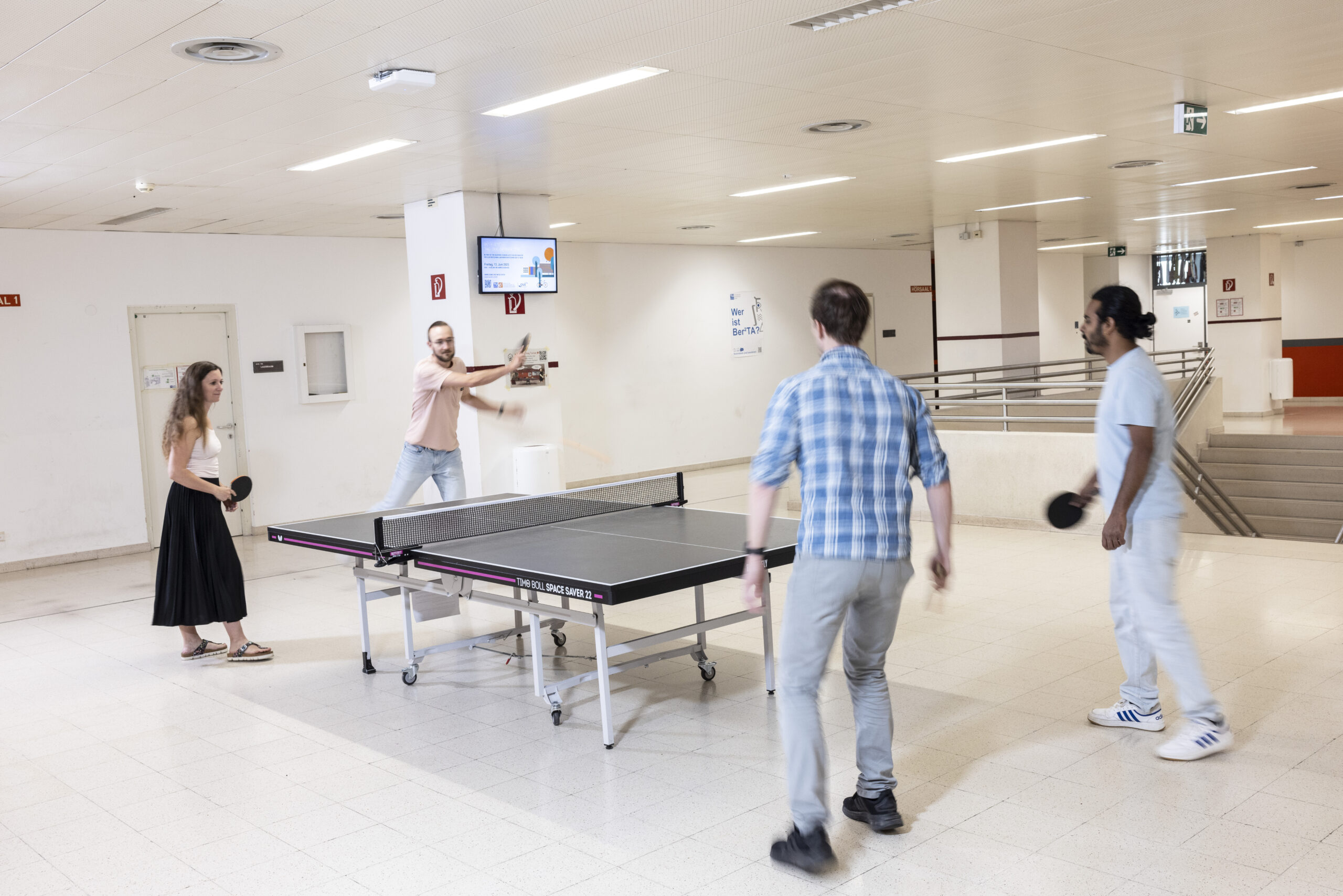
Table tennis
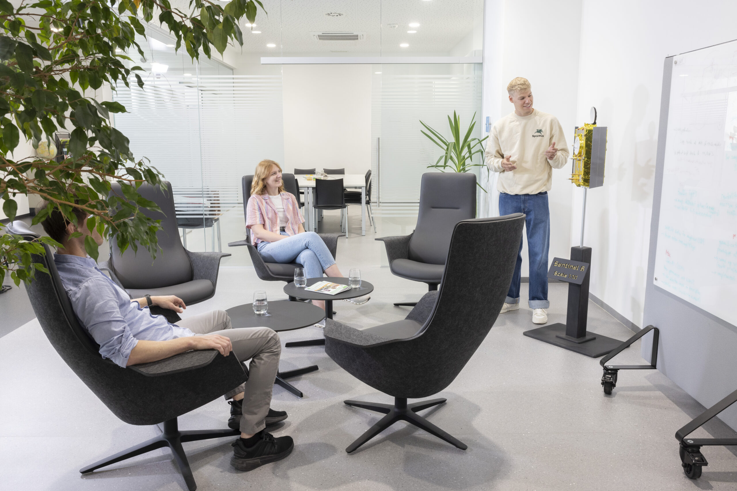
Common room
Do you have questions about studying or registering for a degree program?
You are also welcome to contact the Geodesy and Geoinformation Student Council – i.e. the student representatives: